Declination
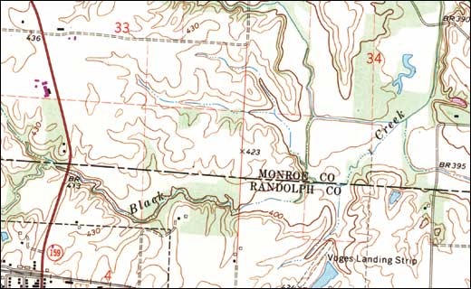
Topographic maps are drawn to true north (North Pole), which is indicated by the grid lines on the map. However, a compass will always point to magnetic north, which is in the Hudson Bay area. The difference between true north and magnetic north is called “declination.”
When true north and magnetic north are aligned, you’re at 0˚ declination. Your compass needle will point to true north. However, if you’re east or west of 0˚ declination, your compass will not be in line with true north.
To compensate for declination:
- Align the north arrow (the N) of the azimuth ring along a north/south line on the map.
- Check the diagram at the bottom of the map that shows whether magnetic north is to the left or right of true north.
- Turn the azimuth ring the correct number of degrees left or right as indicated on the map. The N is now pointing at magnetic north.
- Hold the compass level in front of you, and rotate your body until the tip of the magnetic needle aligns with the N on the azimuth ring. The direction-of-travel arrow on the base plate now points in the direction you want to go.
